Preserving and Restoring Global Tidal Wetlands
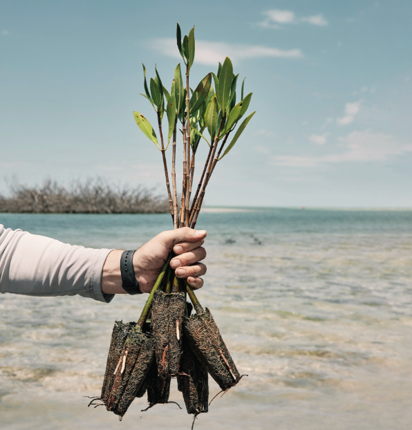
High-resolution satellite imagery has revealed significant losses and new formation of global tidal wetlands, emphasizing the need to understand and preserve these ecosystems. Satellite laser altimetry has played a crucial role in monitoring climate variables, sea level changes, and the impacts of sea level rise on wetlands. Mangroves, one of the ecosystems most affected by sea level rise and anthropogenic influences, have undergone changes in distribution and dynamics. Anthropogenic disturbances can also disrupt the carbon sink function of wetlands, highlighting the importance of preserving and restoring these areas. High-resolution satellite imagery has proven effective in monitoring coastal mangrove forests, identifying previously undocumented areas of forest loss. Technology plays a powerful role in addressing environmental challenges, but urgent preservation and restoration efforts are needed to ensure the survival of these vital ecosystems. [source]
Satellite imagery shows loss and formation of global tidal wetlands. Satellite laser altimetry tracks climate variables and sea level changes. Mangroves are affected by sea level rise and human impact. Satellite imagery identifies forest loss. Urgent preservation and restoration efforts needed.
